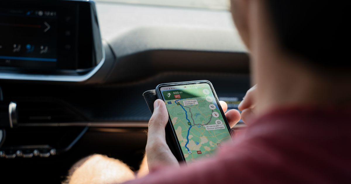
These days, life without Google Maps is almost unimaginable. While it’s undoubtedly made life easier, there have been times when we’ve all thought, “There really should be a feature for that on Google Maps!”
That’s what got us thinking about this story. So, here we are, discussing five features we wish Google Maps had to make navigation even better.
5 Features We Wish to See in Google Maps
Curious about what could make Google Maps even more helpful? We’ve got a list of five features we’d love to see:
Indoor Maps with Real-time Navigation
Have you ever gotten lost at big airports or complex malls? An indoor map with real-time navigation and accurate floorplans would be a game-changer, allowing you to pinpoint your location and receive turn-by-turn directions even within buildings. This feature would enhance convenience and provide a sense of security and orientation in unfamiliar indoor environments.
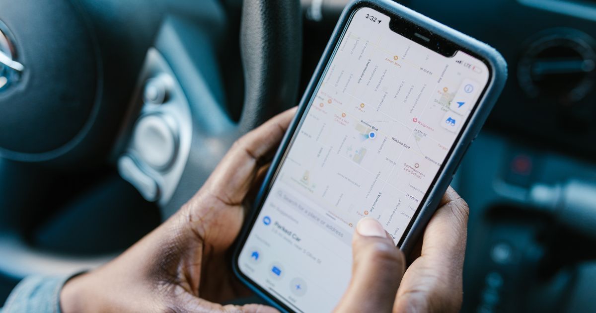
More options for Car Icons
The generic blue arrow representing your car on Google Maps is boring. While the app offers a handful of customisable car icon options, they are very few. It would be great if Google includes more options or allow users to use emojis or stickers; these additions will make the navigation fun and would add a touch of personalisation.
Guiding Through Lanes
In India, the number of expressways and massive six-lane highways is increasing rapidly. Staying in the correct lane is crucial for both safety and efficient navigation. Imagine cruising down a six-lane highway, needing the fourth lane for your upcoming exit. If you’re stuck in the far left lane, a last-minute lane change can be nerve-wracking and dangerous.
Unfortunately, Google Maps doesn’t currently offer lane guidance. A helpful feature would be one that proactively assists drivers in staying in the correct lane for their planned route.
Cop Detection & Speed Camera Alerts
Let’s accept it, speed cameras came late to India and people aren’t used to them. Their enforcement is crucial to curb speeding, but they can also catch you off guard, as they function on strict logic and wouldn’t let you do 45 in a 40 zone.
There are also places where physical checkpoints are present, where commercial vehicles are checked for tax and duty compliance, among other things. And, if you’re a resident of South Delhi, you’d know how randomly some of gates are shut by the cops.
Getting alerts about these would really take away a lot of guesswork, help us be prepared and, ultimately, let focus on the road.
Better Rural Navigation Support
While Google Maps excels in urban navigation, getting around rural areas, especially in India, can be tricky. We have all been there when Google Maps took us on a field trip while navigating in rural, remote places where there are no roads.
Many rural areas lack proper street names or addresses, and local landmarks are more common than addresses. So Google Maps can recognise local landmarks like temples, famous restaurants, or statues and navigate using those popular landmarks instead of the official names or routes.
More Concrete Indications of When to Take a Flyover
Currently, Google Maps doesn’t explicitly tell us whether to use a flyover or not. This can lead to frustration, as sometimes we enter a flyover only to realise it wasn’t the intended route later, forcing us to backtrack with no clear idea of when we can take a U-Turn. A simple animation or image indicating whether to take the flyover or not would be a massive help.